Maniototo Cartography
March 4 2025 · central-otago film-photography
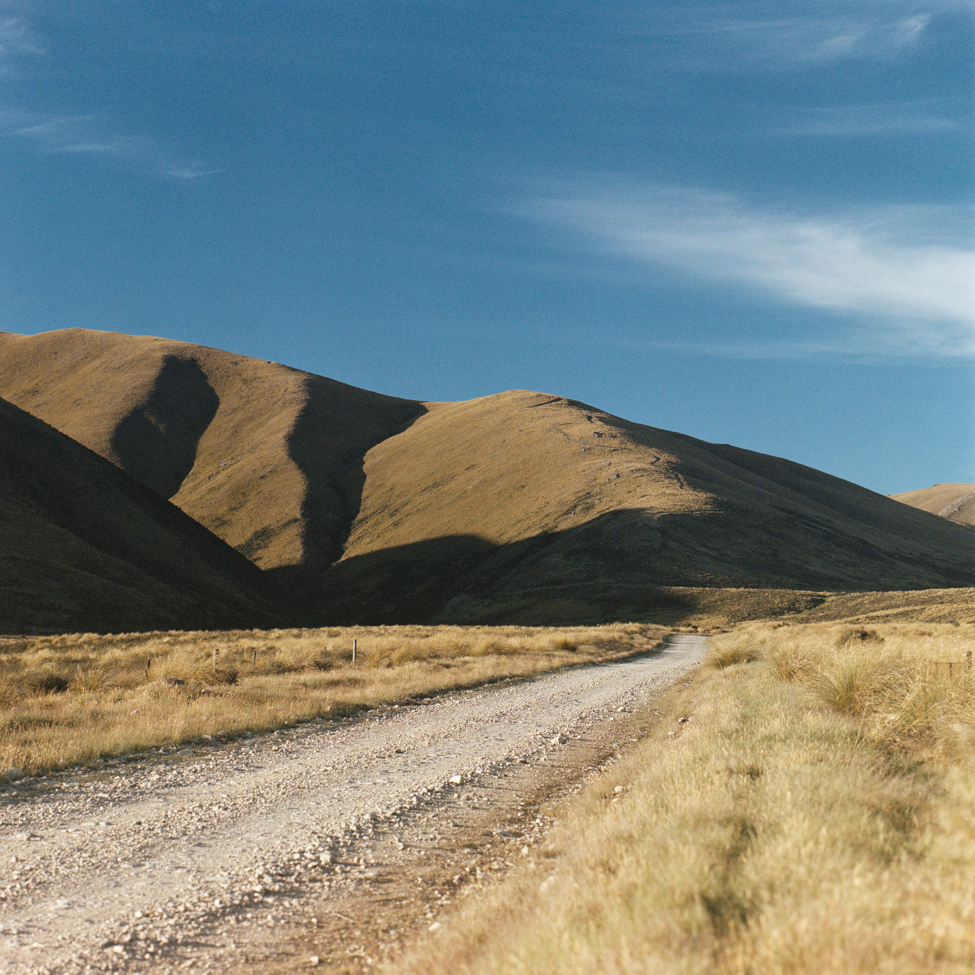
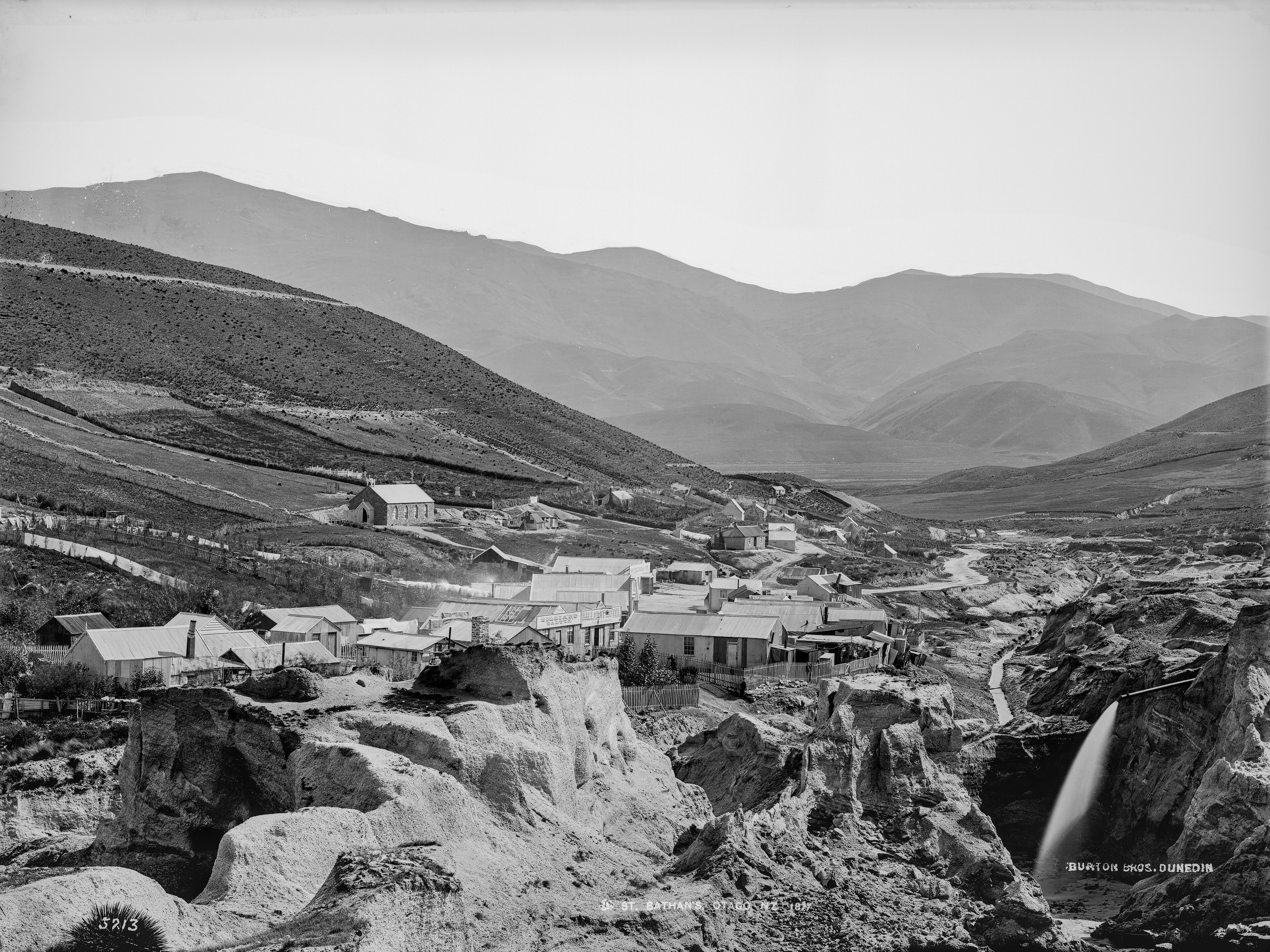
The Maniototo
The Maniototo is a region made of plains and mountains in the South Island of New Zealand. As names go, through to the early 1900s the Maniototo used to be known as Central Otago, during which modern day Central Otago (Cromwell, Queenstown, Wanaka, …) was known as The Interior.
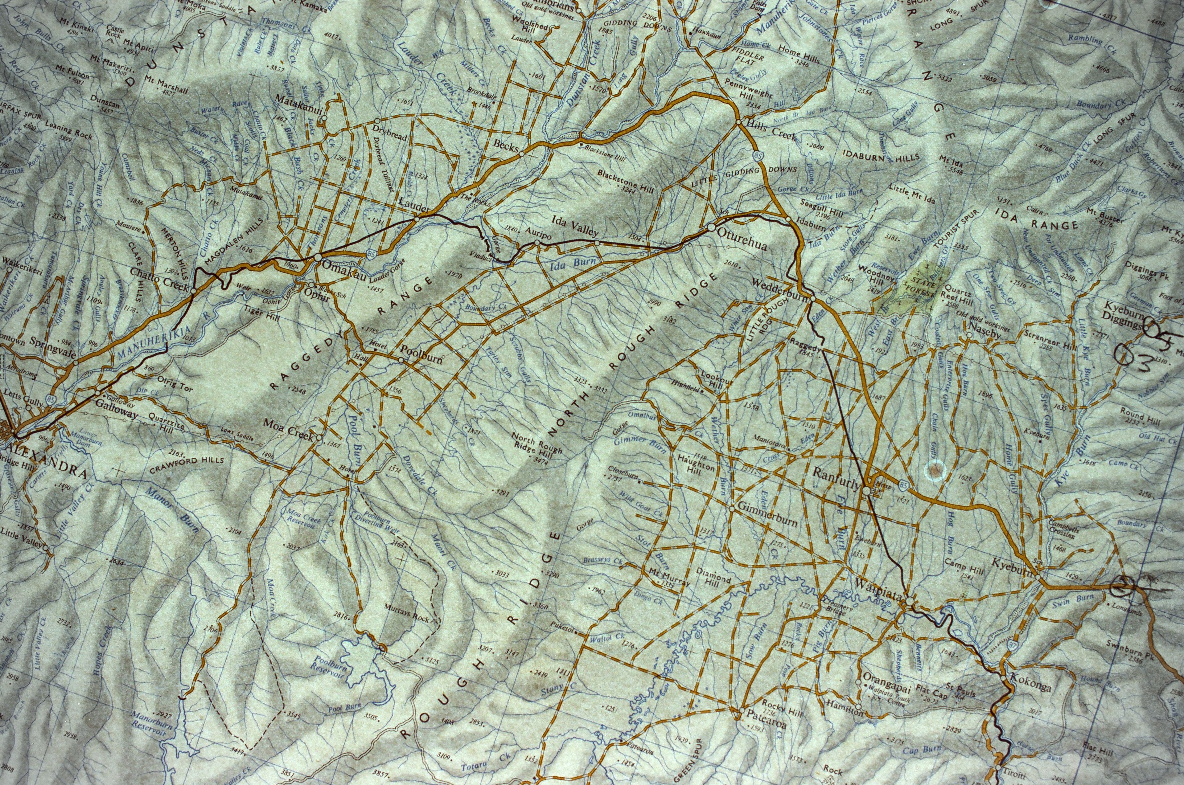
A rough map was made in 1852, with …